Ukraine's Intelligence Reevaluation: Insights Gleaned from the Conflict
The ongoing conflict in Ukraine has highlighted the importance of incorporating external imagery into Common Operational Pictures (COPs) and the applicability of Geographic Information Systems (GIS) in tying isolated skirmishes into a comprehensive understanding of a conflict's progress.
One notable example is DeepStateMAP, an open-source Ukrainian intelligence cell that maintains a "war map" of Ukraine. DeepStateMAP focuses on metadata, using minute details to trace the frontline advances of the 2023 Ukrainian counteroffensive. The success of DeepStateMAP is due to effective collection, exploitation, and integration of external media into a single common operational picture.
The US Army can replicate this success by leveraging the complementary roles of engineer reconnaissance and the collaboration between combat engineers and geospatial engineers.
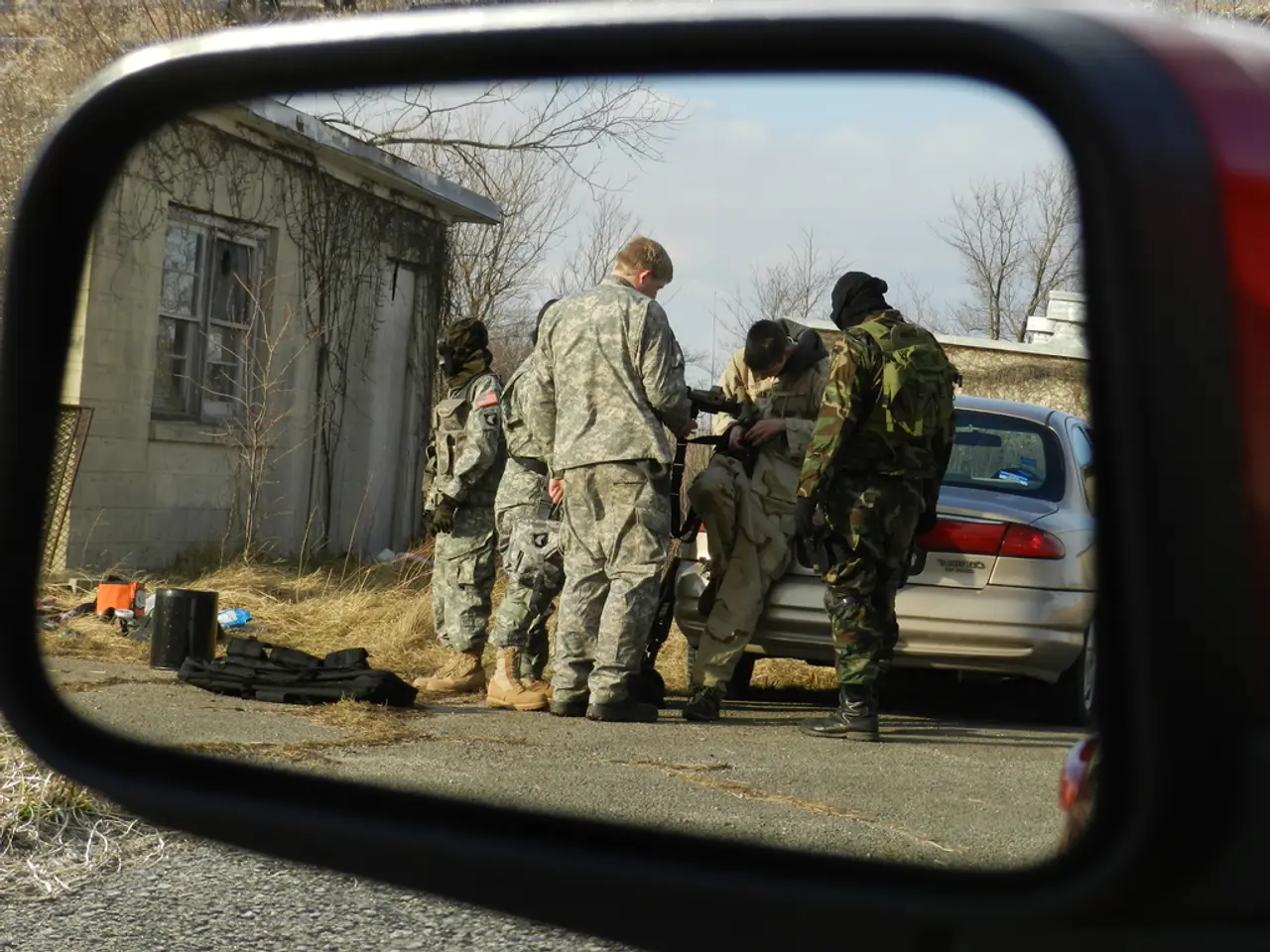
Combat engineers, through engineer reconnaissance, are uniquely positioned on the ground to gather firsthand observations, infrastructure status, and terrain details. Their reconnaissance outputs are critical for validating real-time media and ensuring its accuracy before integration into the COP.
Geospatial engineers, on the other hand, are responsible for georeferencing media collected by combat engineers and separating relevant information into distinct data layers for custom maps. This partnership enables the translation of raw sensory and media data into actionable, layered spatial products in the COP.
The key to this collaboration lies in integrating technological capabilities for real-time media processing with disciplined reconnaissance and close interoperability between combat and geospatial engineer functions. This requires robust data pipelines, automated geolocation and metadata extraction tools, cross-disciplinary teams, and advanced visualization tools.
Within brigade engineer battalions, the best candidate for exclusively engineer reconnaissance missions is the route clearance platoon. The assistant brigade engineer, as the primary engineer officer on a brigade staff, serves as a liaison officer for communicating the interests and employment of engineers to enable maneuver operations. They are in a position to bridge interactions between engineer reconnaissance teams and the geospatial intelligence cell.
By tradition, the US Army Corps of Engineers is responsible for surveying, categorizing, and creating maps necessary for visualizing the battlefield. However, the assistant brigade engineer does not have a direct supervisory role over the geospatial intelligence cell, but is privy to the S2's collection plan and can maximize the utility of engineer reconnaissance.
The Army can leverage the roles of combat engineers and geospatial engineers to replicate DeepStateMAP's relationship between data collectors and its equivalent of an intelligence cell. The end state of reconnaissance is to formulate connections and enable the mobility and countermobility of friendly forces by communicating findings to geospatial analysts and higher intelligence channels.
As the US Army prepares for large-scale combat operations, it is looking to replicate DeepStateMAP's success in integrating real-time media into an organization's main COP. While there is no explicit military doctrinal source detailing a direct US Army initiative exactly replicating DeepStateMAP’s media integration model, the critical role of engineer reconnaissance combined with geospatial engineering to enhance operational pictures is established doctrine in military geospatial and engineer units and aligns with best practices derived from platforms like DeepStateMAP.
- The military can integrate technology, such as data-and-cloud-computing, into combat operations to process real-time media more efficiently, mirroring DeepStateMAP's data management approach.
- The military, in its reconnaissance efforts, can collaborate between combat engineers and geospatial engineers, as they did in DeepStateMAP, to create actionable, layered spatial products for a comprehensive operational picture.
- By utilizing military intelligence and reconnaissance, along with technology like geographic information systems (GIS), the military can tie isolated skirmishes into a comprehensive understanding of a conflict's progress, similar to DeepStateMAP's "war map" of Ukraine.


