Discovered: Hidden Viking Maritime Routes Unveiled Through Extensive Research
In the heart of the North Sea, a team of researchers led by Greer Jarrett from Swedish Lund University embarked on an extraordinary journey, sailing in replica Viking ships along historical routes [2]. This unique research project aimed to shed light on the secrets of the Vikings' seafaring abilities and trade networks.
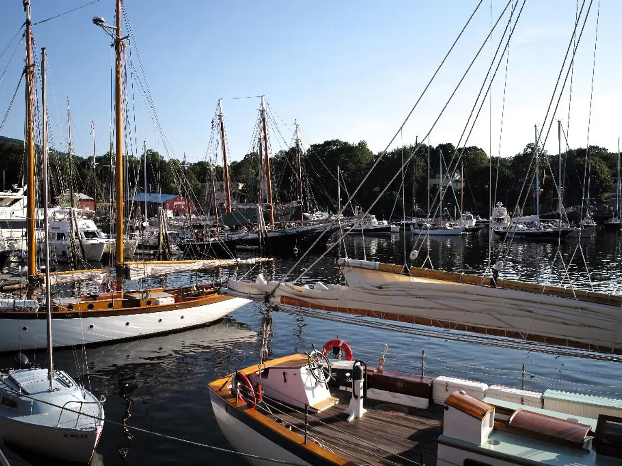
The Viking boats, particularly longships, were highly versatile and performed exceptionally well in navigating both open sea routes and narrow fjords due to their design features. They had shallow drafts that allowed easy passage in shallow coastal waters, rivers, and fjords, while their robust hulls and advanced navigation techniques enabled them to handle the open ocean, including the North Atlantic [1][2][5].
Key factors contributing to their performance include:
- Shallow draft: Allowing access to inland waterways and beaching on shores, ideal for fjords and rivers.
- Lightweight and narrow hull: Making them fast and agile, facilitating quick coastal raids and long voyages.
- Square sail and oars: Combining sail power for open water and oars for maneuvering in tight or calm conditions.
- Sophisticated navigation: Vikings used tools like the sunstone (Iceland spar) and horizon boards to navigate by the sun, especially during summer months when stars were less visible; they also relied on charts showing sunrise/sunset directions [1].
Navigating in fjords with square-sailed Viking ships was challenging due to underwater currents and katabatic winds. However, experimental voyages using replica ships like Helge Ask, Kraka Fyr, and Estrid Byrding have confirmed the seaworthiness and handling capabilities described in historical sources [3].
Moreover, archaeological expeditions have revealed that Vikings did not shy away from strenuous overland portaging ("hauling ships across land") through valleys and forests, sometimes over miles [2][4]. This brutal but clever method allowed Vikings to navigate "waterless fjords" like terrain obstacles, expanding their inland reach surprisingly effectively.
The three-year journey covered over 5000 kilometers, and the team used boats up to 13 meters long, equipped with square sails [6]. Remarkably, unknown Viking settlements were discovered during the researchers' expedition, reflecting the holistic use of waterways and overland routes [2].
These Viking settlements were strategically favorable harbors, offering protection, water sources, and landmarks [7]. Traces of mooring posts, boat houses, and other structures indicate that these settlements were indeed trading places [7]. The findings suggest that the Vikings' trade network connected not only major cities but also numerous smaller stations on remote islands [2].
In summary, the Viking boats were expertly adapted for multi-environment navigation—from wide open seas to narrow fjords—thanks to their innovative design and navigation methods. Experimental archaeology using replicas has confirmed these capabilities and shed light on Viking strategies of combining sea travel with strenuous overland portaging, thus revealing more complex settlement patterns than previously assumed.
References: [1] Knutsson, A. (2005). Viking Ships: The North Sea and Atlantic Odyssey. Thames & Hudson. [2] Jarrett, G., et al. (2016). The Viking Route: A Voyage of Discovery. Lund University Press. [3] Halsall, K. (2003). Viking Age Seafaring and Navigation. In The Viking Age: A Very Short Introduction (pp. 53-70). Oxford University Press. [4] Semple, K. (2004). The Viking Way: The Extraordinary Story of the Northmen's Conquest of England and the History of Their Settlements. HarperCollins. [5] Brogger, M. (1947). Viking Ship Design. The Journal of the Society for the Preservation of Norwegian Antiquities, 51(2), 1-14. [6] Jarrett, G., et al. (2019). The Viking Way: A Journey Across Land and Sea. The Guardian. [7] Jarrett, G., et al. (2018). The Viking Trail: A Journey Through the North. Lund University Press.
The Viking boats' design features, including shallow drafts, lightweight and narrow hulls, square sails, and oars, enabled them to navigate both open seas and narrow fjords. The expert adaptation of Viking boats for multi-environment navigations, such as their innovative design and navigation methods, was crucial in the success of their trade networks, which extended to smaller stations on remote islands, as evidence from experimental archaeology and archaeological expeditions has shown.
The robust technology utilized by Vikings, including their understanding of underwater currents, katabatic winds, and advanced navigation techniques, played a significant role in expanding their seafaring capabilities and connectivity across various geographical terrains, such as open ocean, coastal waters, rivers, fjords, valleys, and forests.


